Geospatial Data Scientist

TOMER
PELED

I'm Tomer. A starting geospatial data scientist with an interest in combining remote sensing data and deep learning methods. Educated in geo-information science (BSc & MSc), with hands-on experience as a GIS specialist across internships and full-time work.
Experience & Education
Sep 2025 – Present
MSc Geo-Information Science
Wageningen University & Research
★ Grade avg 8.7
Mar 2025 – Apr 2026
GIS Specialist
Movares
Feb 2024 – Jul 2024
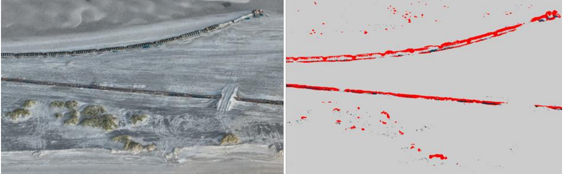
Thesis: Point Cloud Segmentation
Van Oord / HAS University
🏆 2nd Place GIN-NCG Scriptieprijs 2024
Jul 2023 – Jan 2024
Dashboard Developer
BouwRisk
Feb 2023 – Jul 2023
Internship
BouwRisk
Sep 2022 – Jan 2023
Internship
GIS Specialisten
2020 – 2024
BSc Applied Geo-Information Science
HAS University of Applied Sciences, Den Bosch
★ Grade avg 8.3
Projects
Point Cloud Segmentation
LiDAR · Deep Learning
Point Cloud
Segmentation
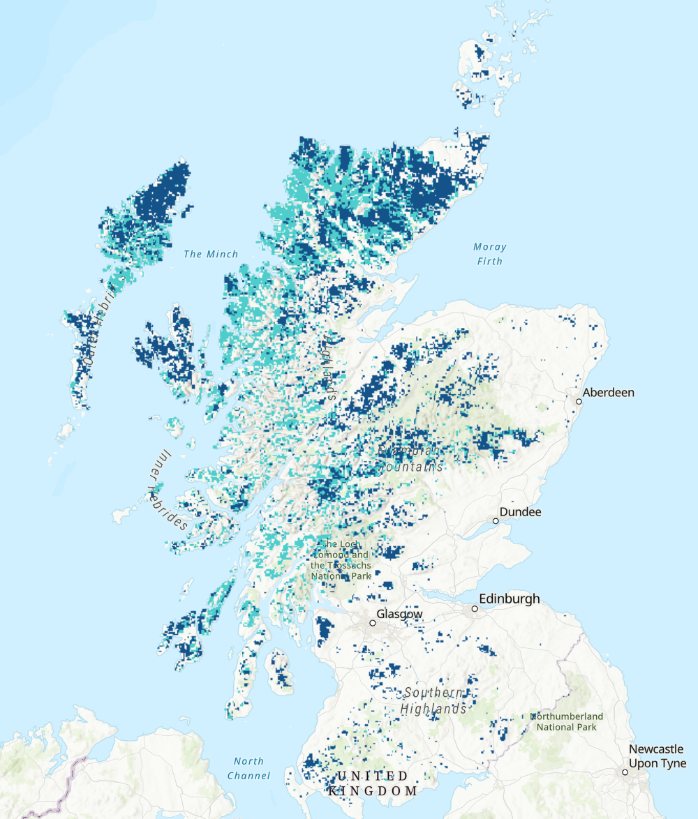
Storymap GIS In Context
GIS · Storymap
Storymap GIS
In Context
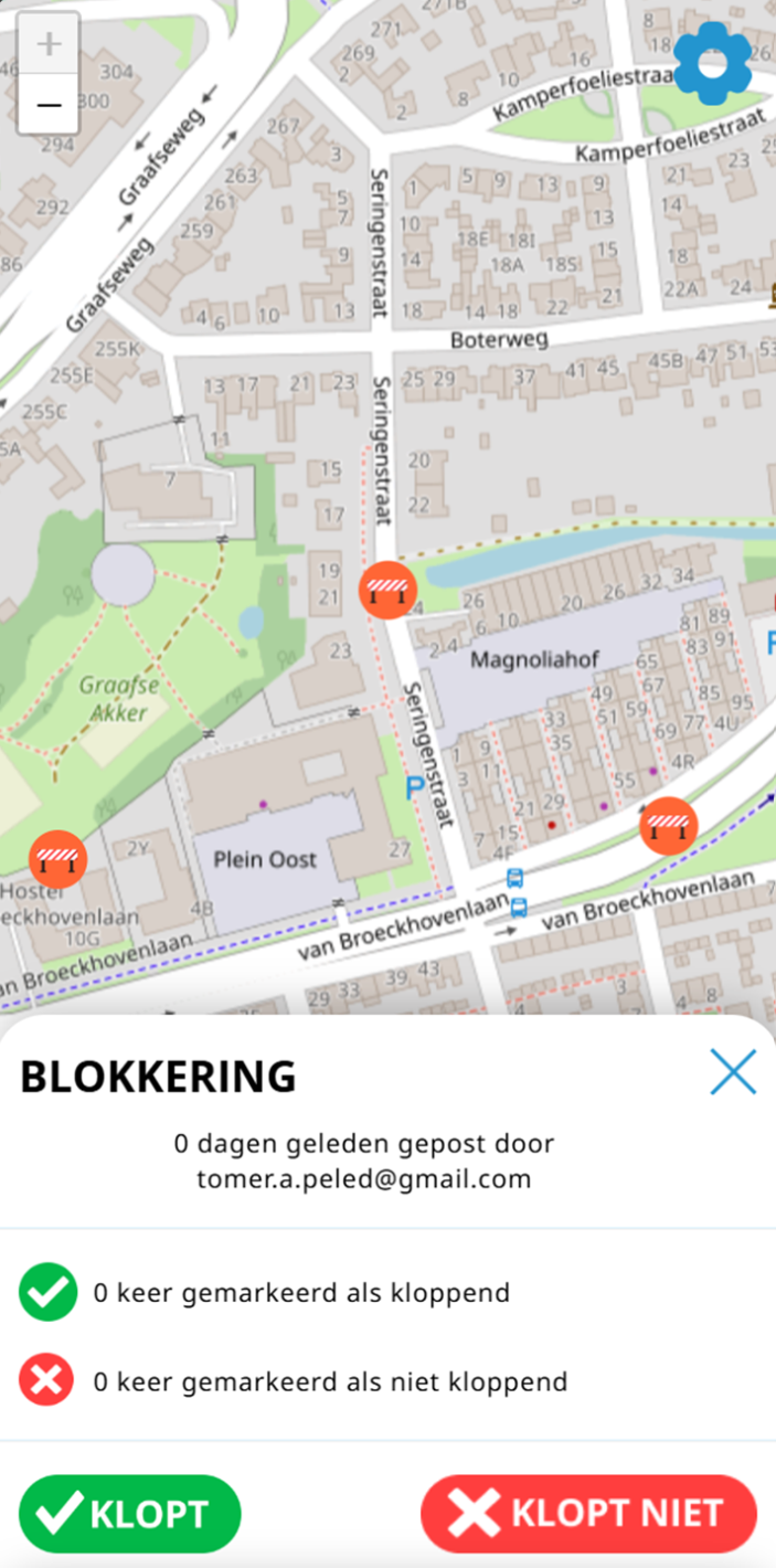
Fietsmeister
Web · Leaflet
Fietsmeister
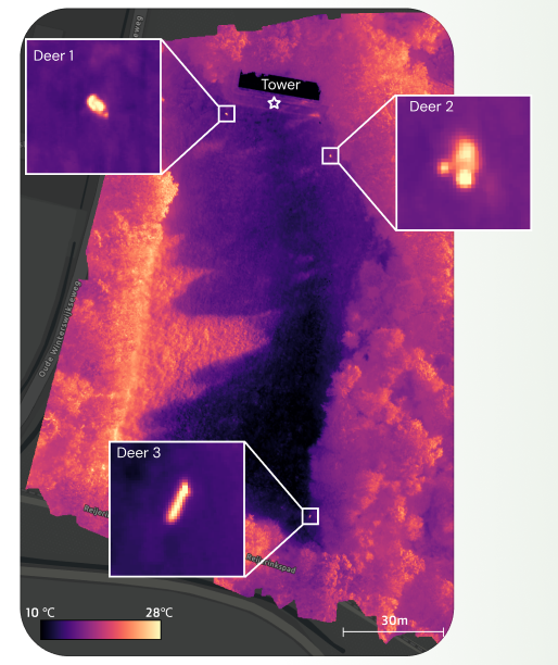
Groenlo Wildlife Watching Tower
Remote Sensing · Thermal
Groenlo Wildlife
Watching Tower
Digital Twin
Digital Twin · Movares
Termunterzijldiep
Digital Twin

← Scroll to see more projects

Skills
Technical
Python / Jupyter
ML pipelines, geospatial processing, scripting and automation
Remote Sensing
Multispectral, LiDAR, SAR, and hyperspectral data processing
Machine / Deep Learning
Point cloud segmentation, image classification models
ArcGIS / QGIS
Spatial analysis, cartography, FME workflows, ArcPy scripting
Google Earth Engine
Cloud-based large-scale geospatial and satellite analysis
Web & Dashboards
HTML / CSS / JS, Leaflet, SQL, R, interactive data apps
Data Science
Satellite multispectral / hyperspectral LiDAR point clouds Radar / SAR data Deep learning model development Spatial data pipelines Web map design
Other
Dutch — native English — fluent (TOEFL 115/120) FME Certified Professional